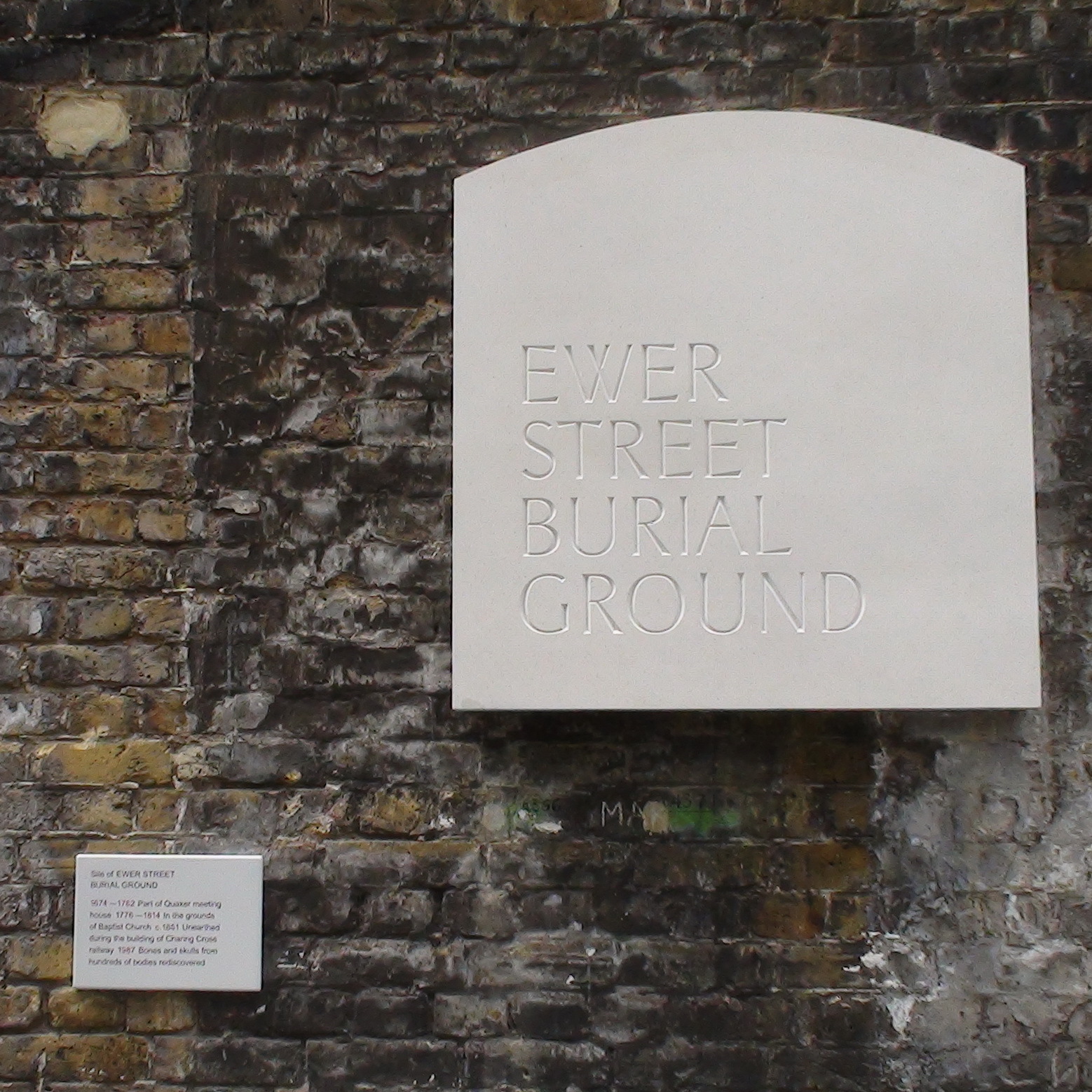
Ewer Street Burial Ground
{On the small information board:}
Site of Ewer Street burial ground
1674 - 1762 Part of Quaker meeting house. 1776 - 1814 In the grounds of Baptist Church. c.1861 Unearthed during the building of Charing Cross railway. 1987 Bones and skulls from hundreds of bodies rediscovered.
Site: Ewer Street burial ground (2 memorials)
SE1, Ewer Street
Current maps show Ewer Street shaped like a T on its side - very unusual. An 1862 map shows an L-shaped Ewer Street (without the northern branch), immediately to the north of the railway, whereas currently the east-west section is to the south of the line. All a good indication of the disruption brought by the railway.
A 1746 map shows the L-shaped "Euers Street" with a "Qu M" in the L's corner, and a "Burying Gr" adjacent, to the west.
The railway line must have used the land occupied by the east-west section of Ewer Street and by the buildings, and burial ground, on its southern side. And a replacement means of travelling east-west was provided by creating a new Ewer Street alongside the line, on the south.
We are pleased to have found the Quaker Meeting House on a map. Presumably the Baptist Church occupied the same site, possibly the same building, and we are disappointed not to have found a picture of it.


Comments are provided by Facebook, please ensure you are signed in here to see them