{A poem from handbills of the time serpentines across the large panels:}
Behold the Liquid Thames frozen o’re,
That lately Ships of mighty Burthen bore
The Watermen for want of Rowing Boats
Make use of Booths to get their Pence & Groats
Here you may see beef roasted on the spit
And for your money you may taste a bit
There you may print your name, tho cannot write
Cause num'd with cold: tis done with great delight
And lay it by that ages yet to come
May see what things upon the ice were done.
{4 smaller slate panels with text are inserted in the gaps between the large ones with drawings:}
After the construction of London Bridge in 1169 its narrow arches slowed the Thames sufficiently for the water to freeze over in severe winters. During the freeze of 1564 the people of London took to the ice for what became the first ever Frost Fair.
Tankards of beer, ale, brandy, a dish of famous new-made coffee, tea or chocolate, Roast beef, plum cake; hot codlins, pancakes, duck, goose and sack, Rabbit, capon, Turkey and wooden Jack.
Sleds, sliding with skeetes, a bull-baiting, horse and coach races, puppet plays and interludes, cooks, tippling, and other lewd places … a Bacchanalian triumph or carnival on the water.
The final Frost Fair was held in 1814. The construction of a new London Bridge with broader spans for shipping improved the flow of the tides. The Thames no longer froze over and the Frost Fairs were no more.
Our close-up photo shows one of the scenes depicted, this one being a market stall set up on the ice to sell bread and cheese to customers in hoodies.
Site: Frost Fairs (1 memorial)
SE1, Southwark Bridge underbridge, Southwark Bridge underbridge
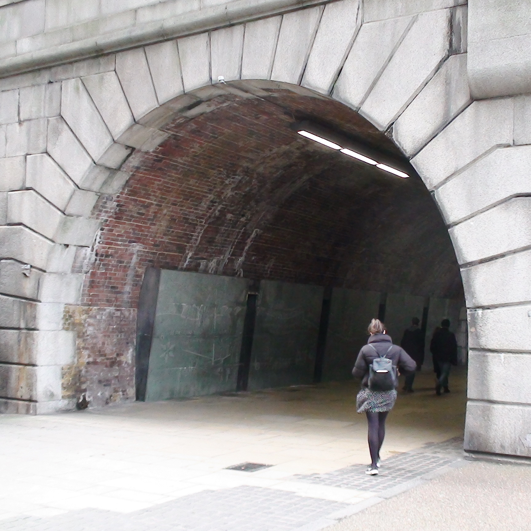
The south side of the pedestrian tunnel under Southwark Bridge approach is lined with 5 large slate panels inscribed with scenes from Frost Fairs on the Thames.
Ornamental Passions has the best photos of the panels that we can find. There you can see that put together they show a map (aerial view) of the south bank of the Thames from London Bridge (although oddly this is not itself shown) through to just west of what is now Blackfriars Bridge. This map is largely from Horwood's Plan (1792-9) but with north at the bottom and south at the top. On the frozen river itself are drawings of the various activities that took place at the Frost Fairs and the text of a poem, which comes from handbills printed on printing presses which were dragged onto the ice to produce novelty handbills.
We can trace this artwork back to 2008 but cannot determine when it was installed.
There seems to be a human need to drag printing presses to unusual locations. Londonist Substack quoted a news item about the stalls that set up in Brunel's 1843 Thames Tunnel: "... one professing to be a newspaper office, in which a number of men were striking off impressions of “The Royal Thames Tunnel Paper, printed 78 ft. below high water mark".


Comments are provided by Facebook, please ensure you are signed in here to see them