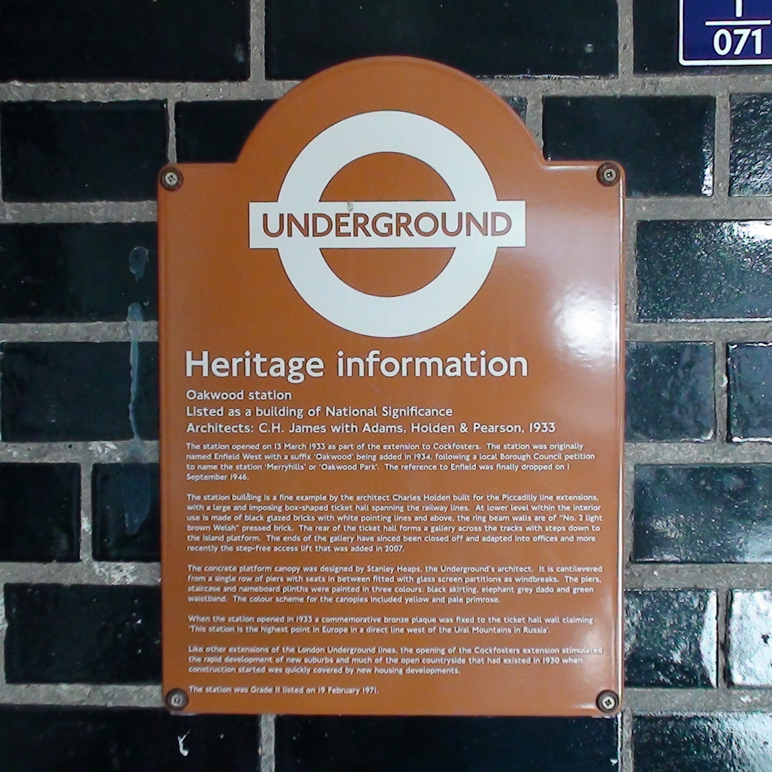
Underground Heritage information
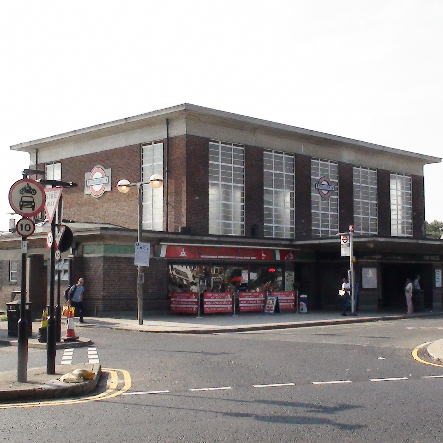
Oakwood station
Listed as a building of National Significance
Architects: C. H. James with Adams, Holden & Pearson, 1933
The station opened on 13 March 1933 as part of the extension to Cockfosters. The station was originally named Enfield West with a suffix 'Oakwood' being added in 1934, following a local Borough Council petition to name the station 'Merryhills' or Oakwood Park'. The reference to Enfield was finally dropped on 1 September 1946.
The station building is a fine example by the architect Charles Holden built for the Piccadilly line extensions, with a large and imposing box-shaped ticket hall spanning the railway lines. At lower level within the interior use is made of black glazed bricks with white pointing lines and above the ring beam walls are of "No.2 light brown Welsh" pressed brick. The rear of the ticket hall forms a gallery across the tracks with steps down to the island platform. The ends of the gallery have since been closed off and adapted into offices and more recently the step-free access lift that was added in 2007.
The concrete platform canopy was designed by Stanley Heaps, the Underground's architect. It is cantilevered from a single row of piers with seats in between fitted with glass screen partitions as windbreaks. The piers, staircase and nameboard plinths were painted in three colours: black skirting, elephant grey dado and green waistband. The colour scheme for the canopies included yellow and pale primrose.
When the station opened in 1933 a commemorative bronze plaque was fixed to the ticket hall wall claiming 'This station is the highest point in Europe in a direct line west of the Ural Mountains in Russia'.
Like other extensions of the London Underground lines, the opening of the Cockfosters extension stimulated the rapid development of new suburbs and much of the open countryside that had existed in 1930 when construction started was quickly covered by new housing developments.
The station was Grade II listed on 19 February 1971.
Site: Oakwood Station (1 memorial)
N14, Branley Road
This long inscription includes the intriguing text "When the station opened in 1933 a commemorative bronze plaque was fixed to the ticket hall wall claiming 'This station is the highest point in Europe in a direct line west of the Ural Mountains in Russia'".
This is a very odd fact to put on a plaque in 1933. Is it even true? This topographic map shows that the station is at 282 (or being generous and taking the top of the hills just to the east) 318 feet. Going west you pass over mainly low-lying parts of England (apart from Epping, parts of which are at 397) , and then the famously low Low Countries. After that a westerly route would have to cross land which is generally above 400 feet, up to at least 900 feet. Perhaps there is a line which would pass along valleys, etc. but it seems very unlikely.
So we doubt the truth of the statement, and wonder whether the plaque ever existed at all. Did some joker in the modern-day plaque-creating team win a dare?
2023: Stephen Brasher (who is clearly as intrigued by this height factoid as we are) wrote: "I'm looking at the newspaper archive for 1933 and have found a piece referring to the new Enfield West station which states as part of the general description " ...is situated at a height of 275 feet above sea level on the ridge which divides Enfield from Barnet..". (Richmond Herald 15th April 1933). So it does look like something was made of this fact at the time. It seems it was linked very closely with the housebuilding that accompanied the building of the extension. At least one of the adverts for the new housing trumpeted as one of the benefits something along the lines of ‘a panoramic view that will never be changed’.


Comments are provided by Facebook, please ensure you are signed in here to see them