An information board in the Park gives "The area that is now Queen's Park was part of the site of the 1879 Royal Kilburn Agricultural Show, which had been attended by Queen Victoria, after which the Ecclesiastical Commissioners gave up the 30-acre site for the free use and enjoyment of the public' and so the City of London Corporation acquired the land in 1886. William Ward made a bequest, towards development of a public park, which was 'to be applied and expended in the erection and maintaining of some institution and the creation of some fund for the benefit of the poorer classes.' Major Alexander McKenzie, the second Superintendent of Epping Forest, laid out the site, which was originally called Kilburn Recreation Ground, but an application was made to Queen Victoria who then gave her permission for the name to be changed to Queen's Park in honour of her Golden Jubilee. the Lord Mayor of London, Sir Reginal {sic} Hanson, officially opened Queen's Park on the 5th November 1887."
More information at Queen's Park History. It's a rather complicated story but London Gardens Online made us understand that the City of London had to accept both Queen's Park and Highgate Wood, or lose both. Queen's Park was going to be more expensive to maintain and it was the funds from William Ward's will that made the double acquisition possible.
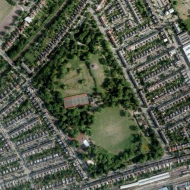
The park was laid out by Alexander McKenzie, and opened in 1887, serving the newly developed area around. The Park is managed by the City of London. The bandstand has been there from the start.
The 2013 Queen's Park Conservation Management Plan may be of interest, though the historical appendix is missing.


Comments are provided by Facebook, please ensure you are signed in here to see them